
Moorabbin Leader feature
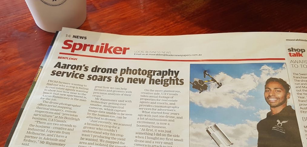
Aaron from UAVisuals has been featured in the local melbourne paper the Moorabbin Glen Eira Leader. The feature outlines the services outside of drone photography that can be of huge benefit to various industries such as agriculture to oil and gas.
From farmers wanting to find out why a crop is failing to real estate agents wanting to show just how near the beach that new apartment is..
Traditionally drones are more commonly known as a flying vehicle that can take images/ video from a height, perfect for real estate and videography which is not entirely untrue. However, little realise the full potential of UAVs. The agriculture industry is currently taking off using multispectral cameras on drones to analyse, improve and even predict crop yield. Oil and gas, mining, renewables are also using them to eliminate personnel working at heights and for better inspection data and quality.
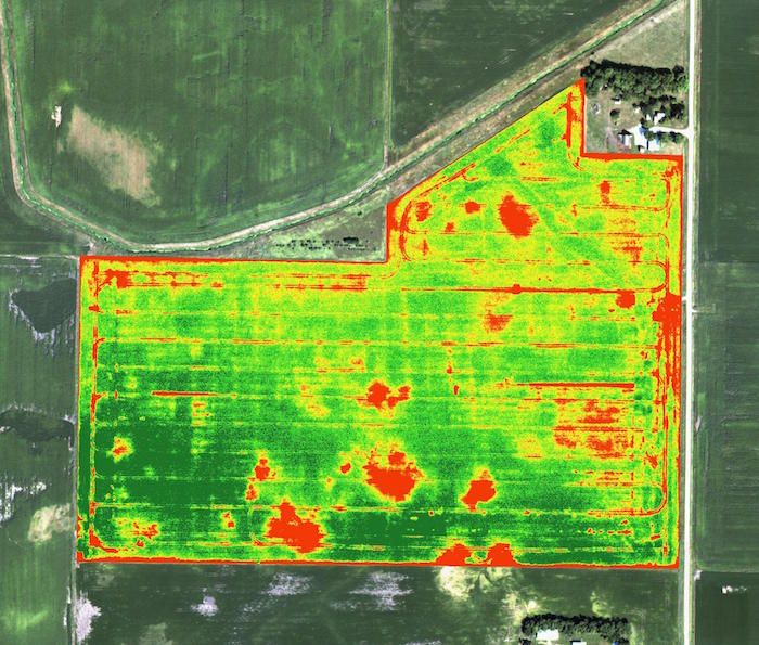
Crop analysis from a drone
Adding a thermal camera on a drone will also take your inspection capabilities to another level. Getting closer to a flare stack, derrick, chimney and with thermal capabilities will give you a highly accurate reading (to the pixel) and able to determine a possible failure before its too late!
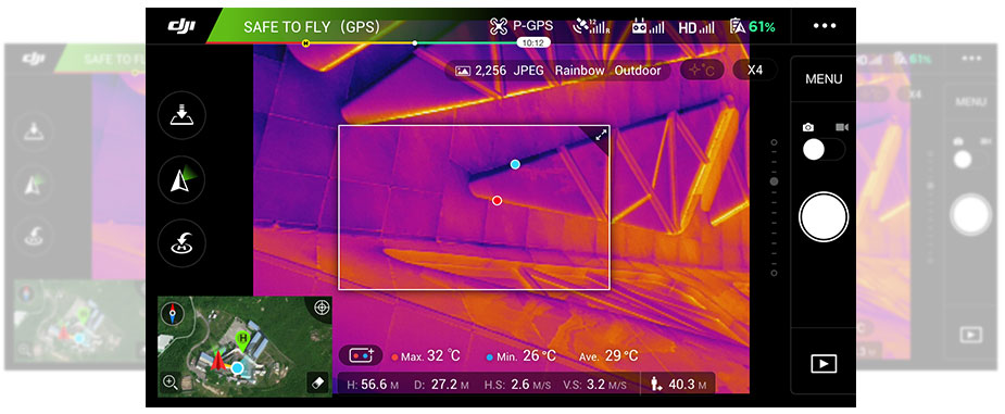
Live temperature reading to the pixel screengrab
For our full list of industry applications for drones see our commercial page.