
Solar Mapping – Coleambally 150MW
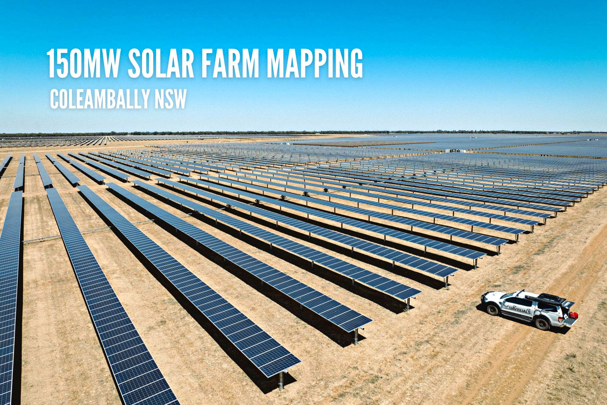
Solar Farm Drone Thermography Mapping – Coleambally NSW
Australia’s transition towards renewable energy has been gaining momentum in recent years, and one of the country’s largest solar farms is leading the charge. Located in New South Wales, this solar farm spans a massive 513 hectares and boasts a capacity of 150MW. Here’s everything you need to know about this impressive project & our engagement utilising the latest in drone thermography technology.
Project background:
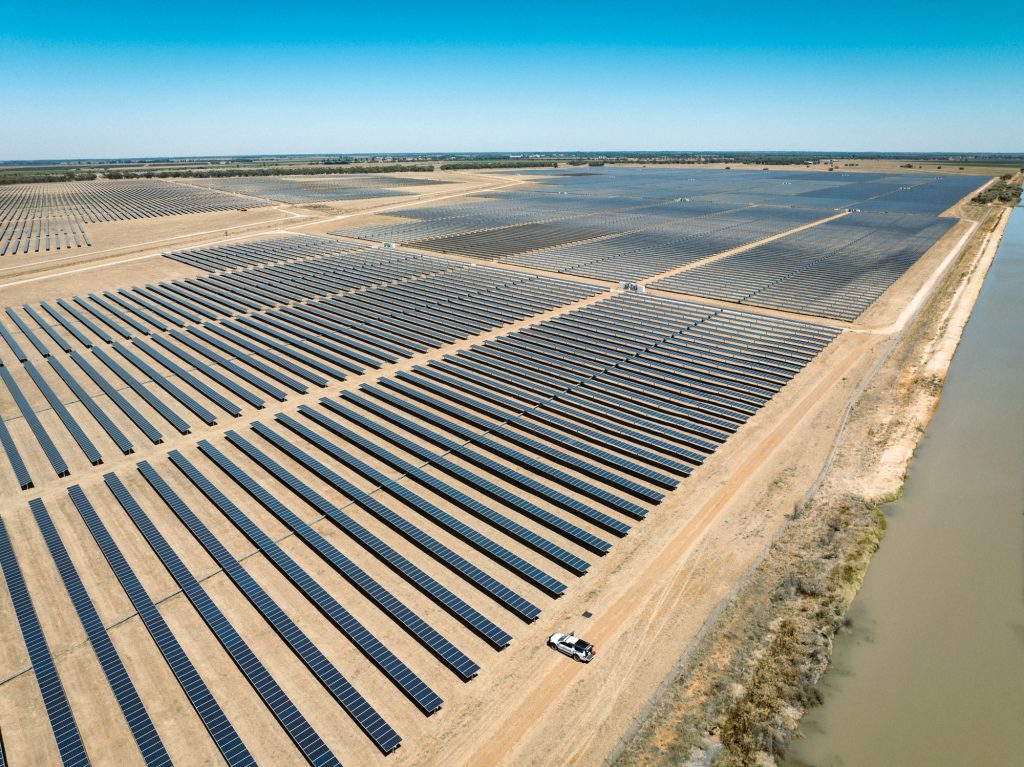
The Coleambally Solar Farm, owned and operated by Neoen in NSW, Australia is one of the largest solar farms in Australia. The solar farm is operated by Bouygues-Construction under a long-term relationship. As a 150MW renewable electricity project, it generates significant amounts of clean energy for the region. The solar farm consists of over 800,000 solar panels, which are capable of generating enough electricity to power more than 65,000 homes in the region!
Drone Solutions:
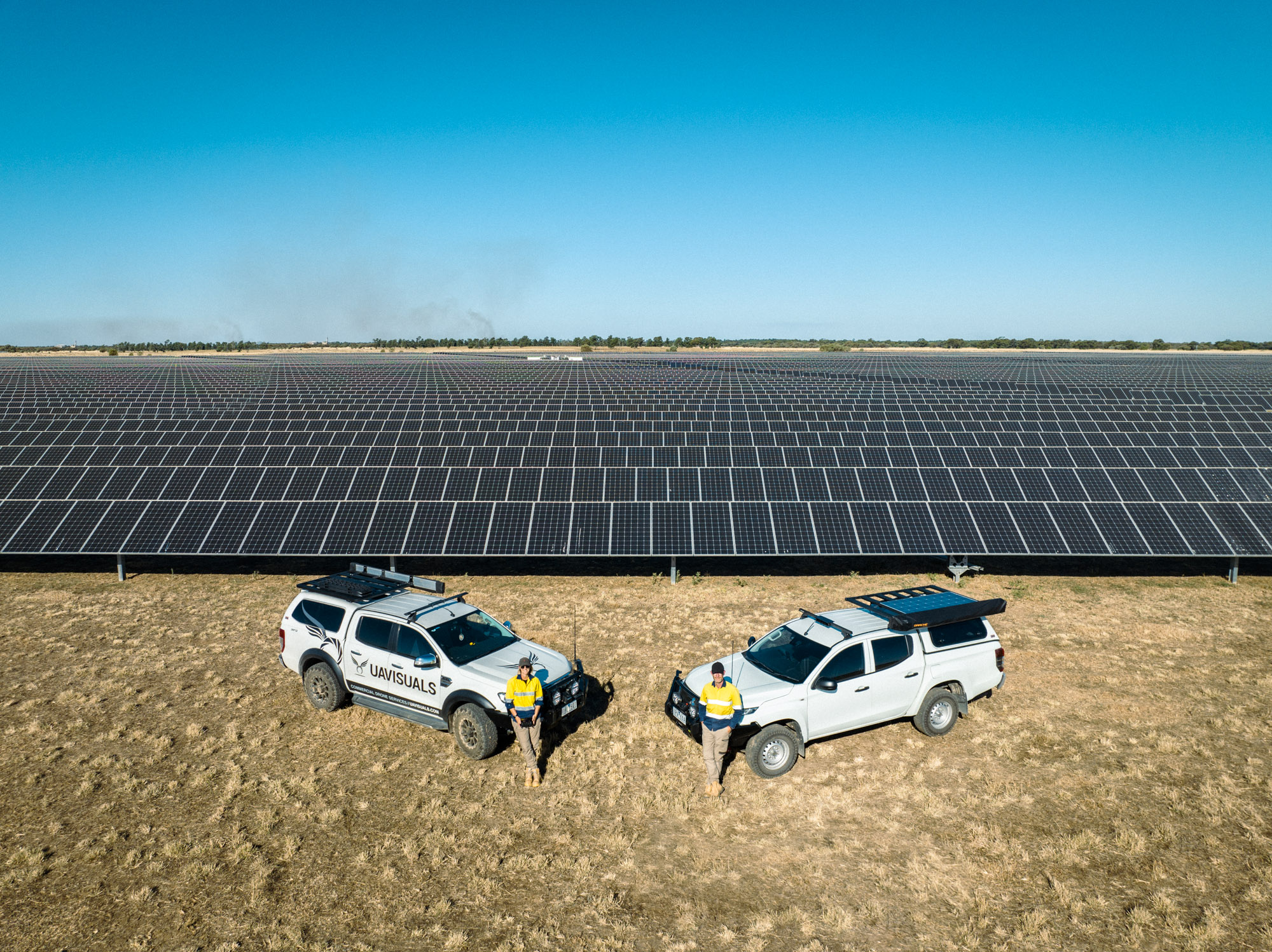
The solar farm needs to undergo regular inspections and maintenance due to the harsh conditions experienced by some of the solar panels. To help with this task, UAVISUALS’ inspections team was contracted to map the solar farm using the latest drone & thermal technology.
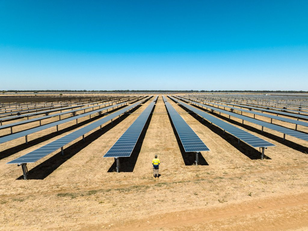
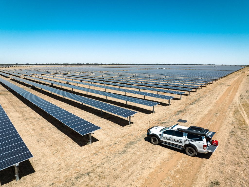
Our mapping solutions are made possible by our industrial team of aerial data experts and Aeroprotechnik. We utilised two teams consisting of two large enterprise drones and two thermal cameras to pick up any defects or issues with the solar panels mapping the huge farm from opposite ends.
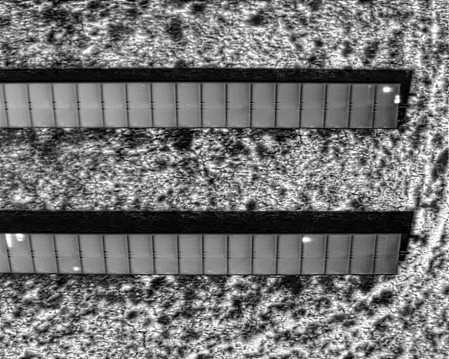
Hotspot detected by thermal drone
The project was completed in record time due to the use of two operators & aligning up great weather with perfect radiance levels!
Overall, the Coleambally Solar Farm thermal mapping project was a great success, showcasing the expertise of UAVISUALS in drone thermography PV mapping. Their ability to identify defects and issues in the solar panels using thermal cameras highlights the importance of regular inspections and maintenance to ensure optimal performance of renewable energy projects.
If you’re looking for solar drone mapping, and survey services, look no further than UAVISUALS Industrial, we have you covered.
For more info contact: info@uavisuals.com