Aquatic Weed Mapping Solutions – Albert Park Lake
Project background:
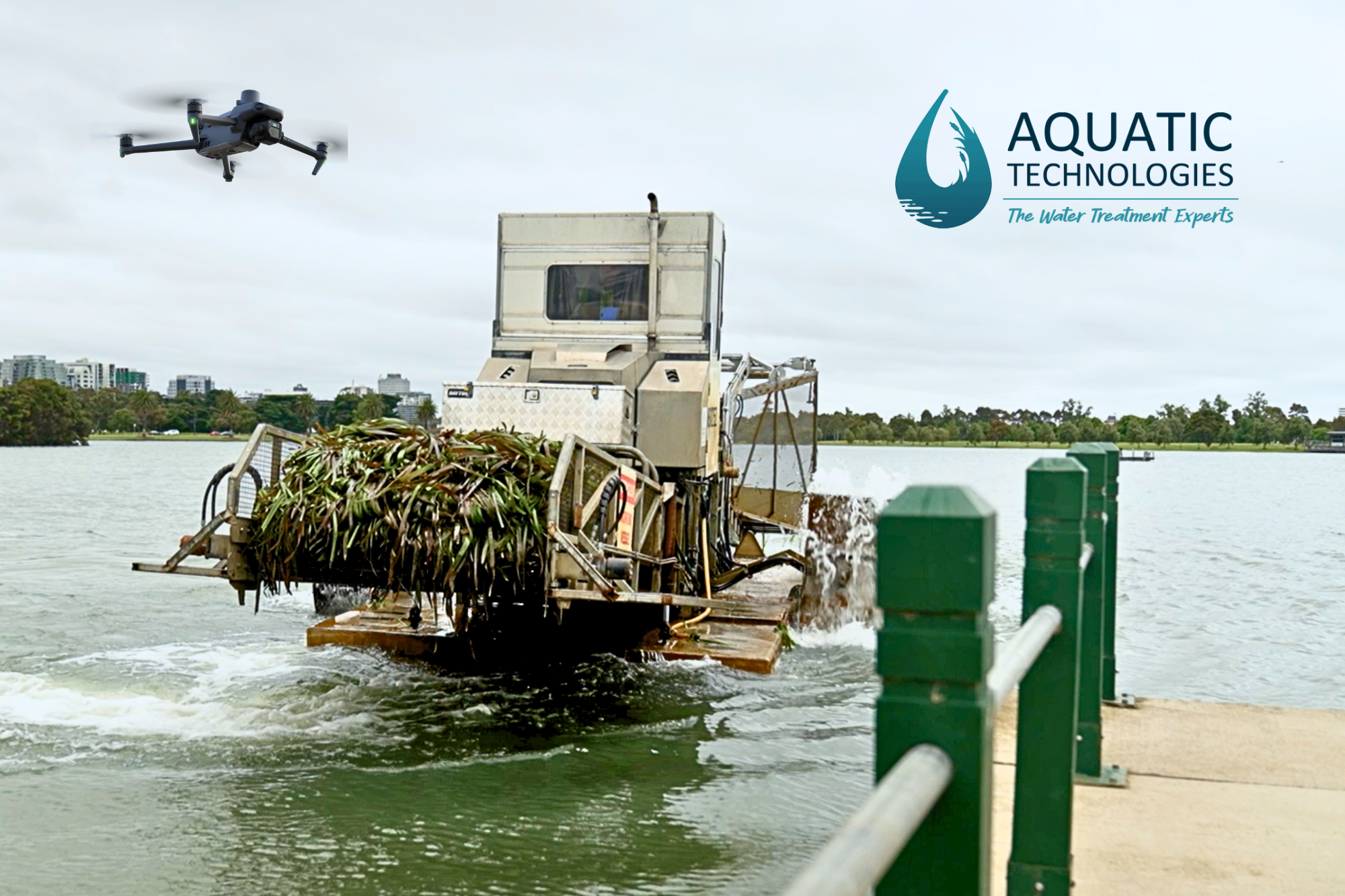
In collaboration with Aquatech, UAVISUALS assisted in identifying and mapping aquatic vegetation in Melbourne’s iconic Albert Park Lake. Aquatech utilises a Weed harvester for weed collection but needed to pinpoint where the vegetation was concentrated to optimise their efforts.
We introduced drone technology to map the areas in a highly accurate Geo-referenced image to verify the density of the weeds, and precisely target their harvester.

Visual Solution:
Mapping water is traditionally a difficult task due to both the reflective & constantly changing nature of the surface. As such, factors like wind & sun position were also taken into consideration in the execution of the operation to ensure the weeds below the water could be seen.
We utilised a state-of-the-art survey-grade drone with RTK capabilities for rapid and accurate data capture. All data collected was geo-referenced, providing precise GPS points for the harvester’s targeting.
Mapping water has multiple challenges, however utilising advanced mapping techniques including geo-referenced data, UAVISUALS delivered high-resolution 2D maps of the lake, accurate down to the centimetre. Our data seamlessly integrates with the client’s harvester systems, such as Trimble and GPS.
Due to the lake’s size and popularity as a public recreational destination, UAVISUALS also engaged in Parks Victoria for approvals to fly around & over the lake area.
For inquiries or collaborations related to weed mapping and aquatic vegetation solutions, please contact us at info@uavisuals.com or 1300 711 965

